What every BhuVerify report includes
Satellite-grade overlays, official 7/12 parsing, and neighbour analysis — all bundled into a single PDF report.
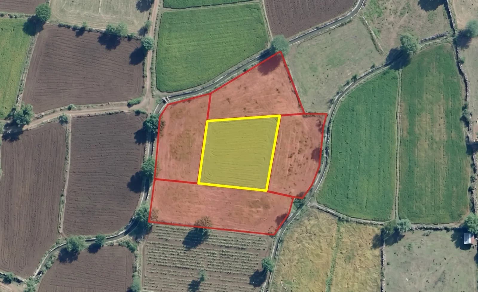
Satellite Maps & Overlays
Precision cadastral maps overlaid on high-resolution satellite imagery to verify actual land usage, boundaries, and topographical features.

7/12 Extract Analysis
Automated parsing of historical extracts. Track ownership changes, encumbrances, and legal disputes across decades.
- Owner verification
- Area cross-check
- Mutation history
- Encumbrance status
Neighbour Analysis
Every parcel touching the target — with direction, area, and owner cross-check.